Servigliano was rebuilt almost from scratch as an ideal eighteenth-century town
A landslide made the old settlement unsafe: in the eighteenth century, the village was relocated and redesigned with a rational, almost geometric layout.
Sources consulted:
A town that had to move
Servigliano's regular plan was no accident. In the eighteenth century, water infiltration and landslides threatened the hillside settlement, prompting repeated appeals to the papal authorities. Houses, streets and the community's ability to remain in the same place were at stake. [1]
Sent in 1769, Virginio Bracci supported relocation near Madonna del Piano, an established fairground. Clement XIV's 1771 decree launched the rebuilding: work began the following spring on Castel Clementino, creating a new settlement rather than merely repairing the old one. [1]
Geometry as a plan for living
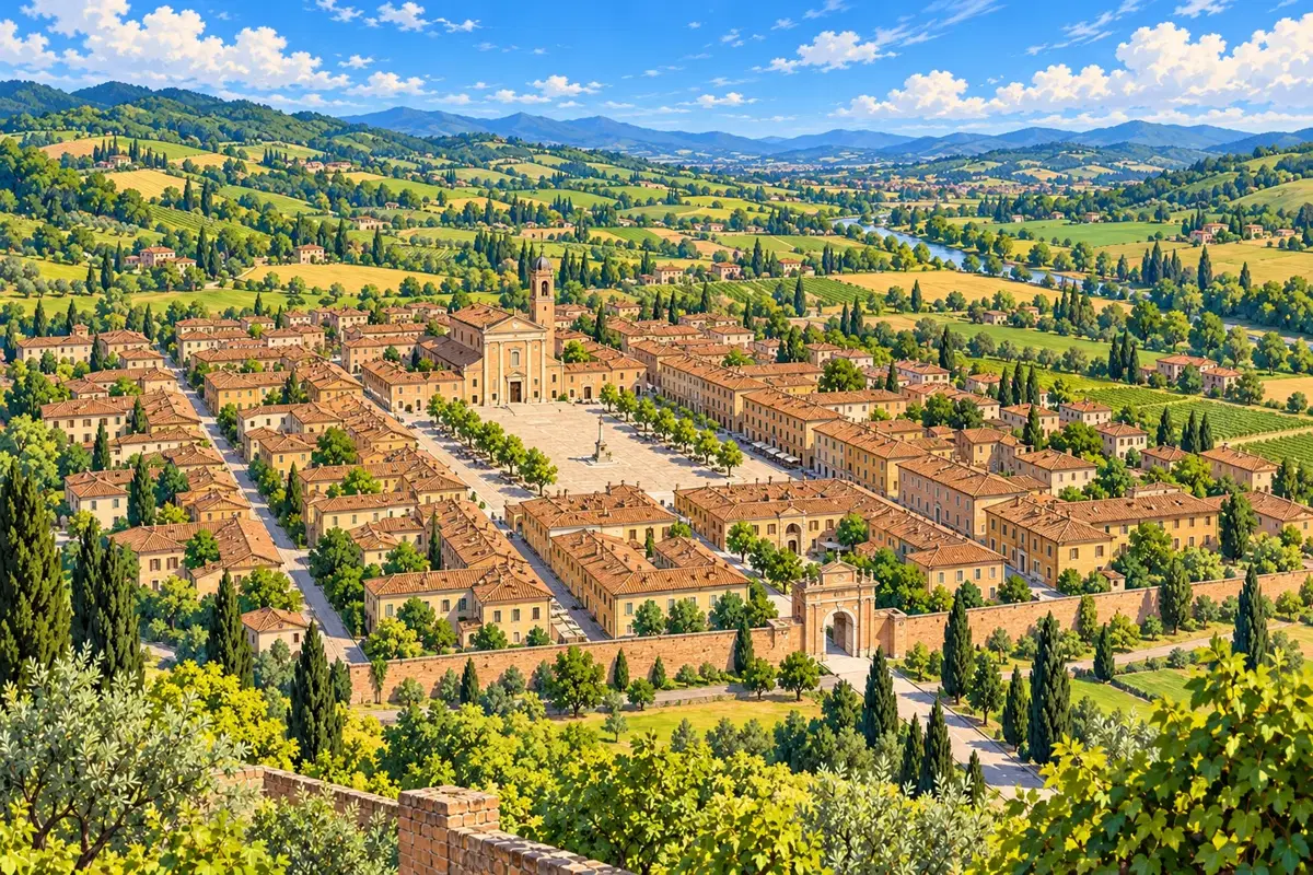
The compact quadrilateral, three gates and street axes express an eighteenth-century urban vision. Comparing them with a cardo and decumanus helps orientation, but the visible town is not Roman: it is a modern settlement deliberately designed around order. [1][2]
Around the square stand the town hall, San Marco collegiate church and substantial residences; artisans' houses lined the perimeter. Public and domestic spaces belonged to the same design. The name Castel Clementino survived until 1863, when Servigliano returned. [2]
Reading the plan on foot
Enter through a gate and cross the centre before stopping in the square. Walking makes its alignments, perspectives and proportions clearer. Then look towards the perimeter: the enclosing urban outline contrasts with a village that gradually developed around a hill. [2]
Complete the walk at Santa Maria del Piano, which predates the rebuilding and anchors the earlier landscape. Check opening arrangements and religious services before entering churches. This reading of the town can also begin entirely outdoors, without requiring a guided visit. [2]