Monte Pietralata: the Furlo mountain and Mussolini’s profile
On the rocks of Furlo, an intervention in 1936 turned the landscape into propaganda. The story of the profile, its partial destruction and the mountain that preserves its traces.
Sources consulted:
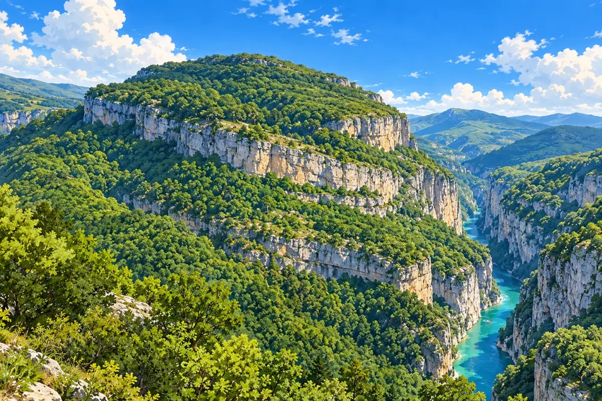
A landscape shaped by more than nature
At Furlo, the Candigliano flows through the gap between Monte Pietralata and Monte Paganuccio. Limestone walls, woodland and water define the gorge, but the rocks also record human activity: the Via Flaminia, tunnels and quarries have left different marks that can still be read today. [1][2]
One of these marks belongs to the twentieth century: Benito Mussolini’s profile formed on Pietralata. It is not simply a natural resemblance noticed by chance. In 1936 the National Forestry Militia altered the mountain’s rocky ledges to make the face of the fascist regime’s leader recognisable, exploiting the perspective of the slope. [1][2]
1936: a face turned into a symbol
Mussolini’s connection with Furlo followed the Via Flaminia: travelling between Rome and Romagna, he stopped at the Candiracci family’s hotel. The Reserve’s historical account records a visit in 1922. The 1936 work belongs to this context, taking the dictator’s image out of buildings and into the landscape. [1][2]
The La Valle del Metauro database reports that partisan groups largely destroyed the profile at the end of the war. What can be observed today must therefore be distinguished from the original image. Accounts differ on the details of its demolition; we do not attribute orders or individual actions without consistent documentation. The episode remains a trace of fascist propaganda and the subsequent removal of its symbols. [2]
From the story to a visit: check access first
To understand this story, consider mountain and valley together: Pietralata, the road and the traces of stoneworking belong to the same landscape. The Gola del Furlo destination page provides orientation, while the Roman tunnel story adds another chapter to the relationship between rock and human intervention. Do not approach cliff edges or leave marked paths to look for the profile. [2][3]
Access checked on 22 October 2026: the Reserve’s official website publishes a ban on vehicle, bicycle and pedestrian traffic along the section of the Via Flaminia inside the gorge following the rockfall of 9 September. The notice concerns that section, not necessarily the entire reserve. Before setting out, consult the orders and ask the Visitor Centre which routes are actually open. [4]