Amandola Is a Gateway to the Sibillini Shaped by Mountains, Markets and Legends
This village in the Fermano faces the Sibilla mountains and preserves a history linked to Apennine trade and Sibillini culture.
Sources consulted:
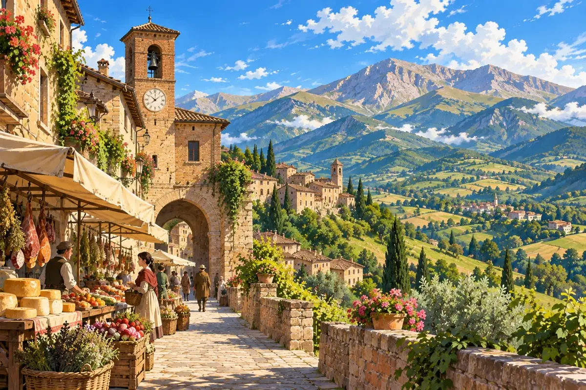
Three hills before one name
Amandola overlooks the Tenna valley on the eastern side of the Sibillini. Agello, Castel Leone and Marrubbione recall the settlements that formed the medieval municipality. Understanding the town begins with these multiple origins, as well as its views. [1][2]
The almond tree said to have named the town belongs to local legend, explicitly identified as such by the Park. Its image above Castel Leone is evocative, but not documentary proof of the name's origin. [1]
A town facing the mountains
Squares, gates and religious buildings mark a town at different levels. The Park's description links Piazza Risorgimento, Sant'Agostino, San Francesco and the upper town's Podestà tower: an urban fabric best understood on foot. [1]
The Anthropogeographical Museum explores relationships between communities and the Sibillini landscape. It introduces a mountain world shaped by settlement, cultivation and human change. Amandola is a cultural introduction to the Park, not merely a starting point for trails. [3]
Visit with current information
The Park warns that its building descriptions predate the 2016 earthquake. They do not guarantee current access. Check the municipality and Park offices for openings, restrictions and available services before planning interior visits. [1]
Separate the town walk from any hike: a viewpoint says nothing about the difficulty of distant mountains. Choose routes using official information, weather and your experience. The squares also offer an encounter with Sibillini history.